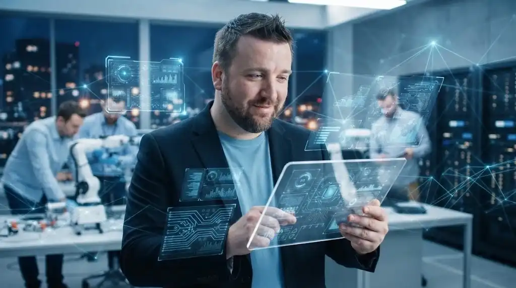
Spatial Computing refers to computing systems that understand, represent and interact with physical space and three-dimensional relationships between people, objects and digital content. Rather than treating the computer as a device displaying information on a flat screen, spatial computing allows digital information and actions to be situated in physical space. It can involve spatial mapping, computer vision, depth sensing, gesture recognition, hand tracking, eye tracking, three-dimensional interfaces and immersive displays. The term overlaps with AR, MR and XR, but it places particular emphasis on computing that understands spatial relationships and allows users to interact with digital content in a spatially meaningful way.
A central capability of Spatial Computing is spatial awareness. The system needs to estimate where the user and relevant objects are located and how they relate to one another. Cameras, depth sensors and inertial measurement units can provide measurements used to construct environmental representations. Software can identify surfaces such as floors, walls and tables and associate digital content with particular locations. This enables a virtual object to remain anchored while a user walks around it or to respond appropriately when a physical object enters its space. Spatial awareness can also support navigation, measurement, object recognition and interaction without requiring every action to be expressed through a conventional graphical interface.
Three-dimensional coordinate systems are fundamental to Spatial Computing. Software maintains relationships between reference frames representing the device, user, environment and digital objects. Transformations allow a position measured by one sensor to be expressed relative to another coordinate system. Accurate tracking is necessary because small errors can cause digital content to drift relative to physical objects. Systems may use simultaneous localisation and mapping, visual-inertial odometry and other estimation techniques to maintain a stable spatial model. Time is also important because a moving user or object changes position continuously, so sensor measurements must be synchronised and processed with sufficiently low latency.
Spatial Computing changes the design of user interfaces by making space itself an interaction medium. Instead of selecting an icon with a mouse, users may look at a virtual object, reach towards it, speak to it or physically move around it. Digital information can be placed near the physical object to which it relates, reducing the need to switch attention between a screen and the real environment. However, spatial interfaces do not eliminate conventional interfaces; menus, keyboards, touchscreens and other input methods can remain useful. Effective spatial computing therefore involves selecting interaction methods according to task requirements rather than assuming that three-dimensional interaction is always more efficient.
Applications include design, engineering, healthcare, education, manufacturing, logistics, navigation, remote collaboration and entertainment. Engineers can inspect digital models within physical workspaces, while technicians can receive spatially aligned instructions. Medical professionals may use three-dimensional visualisation to examine anatomical information, subject to appropriate clinical validation. Educational systems can place interactive models within classrooms, while remote collaboration platforms can allow participants to manipulate shared three-dimensional representations. In each case, spatial computing can connect information directly with the physical context in which it is relevant.
Spatial Computing is closely related to digital twins and the Internet of Things because physical objects can be represented digitally and connected to live information. A machine equipped with sensors could have a spatially positioned digital representation showing operational status or maintenance information. This combination allows users to inspect not only what an object looks like but also data associated with its current condition. The resulting system can become a spatial interface to complex information. However, accurate spatial representation requires reliable data, and the digital model must be maintained as the physical environment changes.
Challenges include sensing errors, environmental variability, processing requirements, display limitations, privacy and interaction fatigue. Spatial systems can capture detailed maps of private spaces and information about user movement, gaze and behaviour. In industrial settings, the system may also process sensitive information about machinery or facilities. Safety requires careful consideration because users may focus on digital content while walking or operating equipment. Another challenge is persistence: a digital object that remains associated with a physical location must be correctly identified even when the environment changes, objects are moved or lighting conditions differ.
Spatial Computing represents a shift from computing centred primarily on documents, windows and screens towards computing that incorporates physical location, geometry and embodied interaction. Advances in computer vision, depth sensing, graphics processing and wearable displays have made this approach increasingly practical. Artificial intelligence can further improve scene understanding and natural-language interaction, allowing users to ask questions about objects or environments in spatial context. The term is therefore broader than a particular headset or AR application: it describes a computing paradigm in which physical space becomes an important part of the interface, data model and interaction process.
